news
Indoor building mapping in OSM
Quoting: Indoor building mapping in OSM —
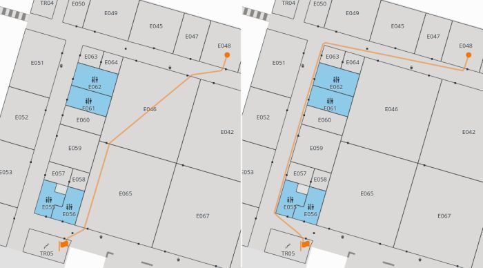
Navigating in complex public buildings is a similar challenge than navigating outdoors, detailed map data is crucial in both cases. And while indoor mapping is a somewhat niche topic in OSM still, there’s applications such as Itinerary and Transitous making use of that for train stations or airports, and Kongress applying this in conference venues.
For displaying maps split up by floor level we already get somewhat usable results with partial information as humans are very good in filling in the blanks.
Routing algorithms however are very dumb and very clever at the same time, dumb when it comes to making “common sense” assumptions when facing missing information and clever when it comes to finding creative shortcuts by exploiting incomplete information. So completeness is important here.